ZONE 5 – ROUTE 10

The Route
LECCO, CYCLE PATH OF THE LAKES
The itinerary, of low difficulty, starts and ends in the centre of Lecco, a few metres from the beginning of the Adda river.
Right from the start you can appreciate the tranquility and ease of the route that runs along the Adda river and the lakes of Olginate and Pescate on both banks in a clockwise direction.
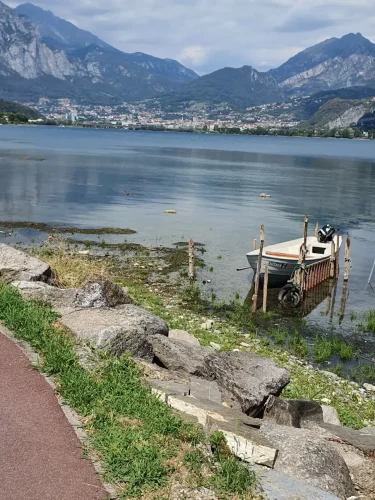
The cycle path does not present any technical or altimetric difficulties and continues with a succession of pleasant gravel dirt roads alternating with short asphalted stretches. The indications and cycle signs are scarce and unclear. The panorama and cultural ideas of the itinerary are remarkable: on the way out in a southerly direction you can appreciate Mount Barro, the course of the river and the Manzonian landscapes, on the way back you pass through the splendid village of Pescate and the view opens onto the Grigna mountain range, the various dams and the city of Lecco.
Once you reach the town of Vercurago, you leave the cycle path to cross the town. The crossing is not very busy, but not very easy given the lack of signs.


Once back on the cycle path, the Olginate lake loop closes and you pass to the opposite side of the bank for the return towards Lecco passing through Olginate, Garlate and Pescate.
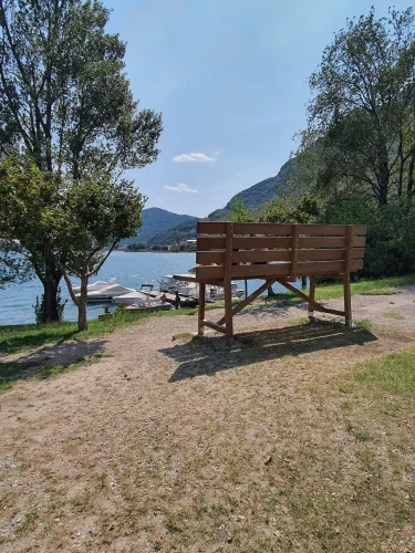
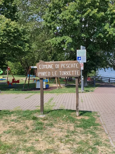
Along the route there are numerous assistance points, bars, kiosks and small beaches especially in the Pescate area where there is also a nice giant bench in the Addio Monti park.
From Pescate we continue north, along the Adda, and in a few kilometers we approach Lecco via the cycle path that has some dangerous sections and several crossings. Once in Lecco we cross the Adda via a pedestrian bridge and head towards the end of the route.
We continue towards Sommafiume, another town inhabited by holidaymakers in the summer.
Heading towards the locality of Vezzée, you descend along a fairly wide and fun agro-forestry pastoral road; it is advisable to pay attention only to a passage near the river, where it is advisable to accompany the bike by hand.
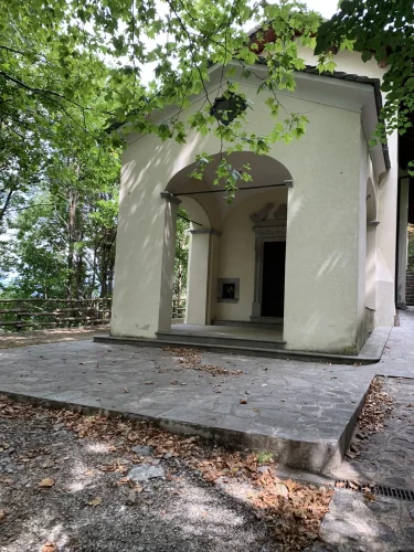
Another suggestive passage is from the Sanctuary of the Madonna di Bondo, along the last descent, also passing by the water collection basin for the power plant located on the lake shore.
Finally, we proceed on asphalt; if you want and without any particular problems, you can make easily identifiable cuts to reach Dervio.

Technical Data
LECCO, CYCLE PATH OF THE LAKES

Path status:
Good / Excellent
Difficulty:
EASY: Suitable for families, with no technical difficulties and little training.
Recommended bike:
ebike/mtb/city bike/gravel
Degree of historical/landscape interest:
7 of 10
Route lenght:
20,5 Km
60 mt
50 mt

Activities and services
LECCO, CYCLE PATH OF THE LAKES
Existing Signage:
SUFFICIENT: Few signs indicating the main deviations on the cycle path. No signs connecting one section to another at the village crossings. No kilometre indicators.
Charging point:
No charging points present.
Workshops and shops:
Numerous service shops along the route.
Intermodal connections:
The itinerary is a ring with departure and arrival in Lecco. Lecco is connected to all the locations on the lake by boat, train and bus.
Along the Route:
There are many bars, kiosks, restaurants, campsites, parks.
Gallery
LECCO, CYCLE PATH OF THE LAKES
Reports
LECCO, CYCLE PATH OF THE LAKES
Report a Point Of Interest along the Route
With this feature LarioGT wants to be a point of reference for the biker community of Lake Como. If you think that along the route it is useful to report a Point of Interest (a fountain, a viewpoint, a commercial activity useful to us bikers, but also a dangerous point) use the following Form to send us the details, if you know the coordinates in decimal degrees (latitude and longitude) or more simply the exact address and you have photos or documents useful for your report, attach them and write a comment about your report, we will moderate the report and insert it into the map!


