ZONE 3 – ROUTE 6

The Path
CREZZO BASIN AND UPPER VALASSINA
A circular tour that leads to the discovery of some of the less frequented places of the Larian Triangle.
The route is proposed starting from Magreglio, but since it is a circular itinerary it is possible to start at any point along the route.
From the Ghisallo square (parking lot) you return towards the village to immediately enter the woods via an easy dirt road that leads to the “bubble” of Magreglio. From here the path becomes narrower (a couple of short technical sections) and, without losing altitude, leads to the asphalt road that from Barni leads to Conca di Crezzo.
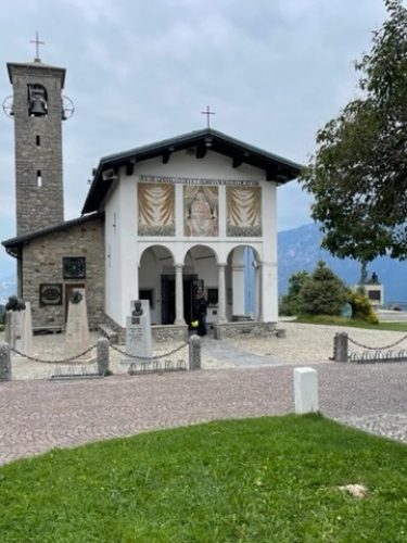
After climbing the last two hairpin bends, you leave the asphalt road to visit the Shrine erected in memory of the ATR 42 tragedy and enjoy a beautiful panoramic view of the lake and the Grigne group.
From here the trail continues off-road until the houses of Conca di Crezzo, past which you find yourself skirting the Crezzo lake.


Once past the lake, you leave the dirt road that runs alongside it to take the path that leads to Valbrona, passing through Alpe di Monte. The first part of the path is narrow and exposed at times, but does not present any particular technical difficulties.
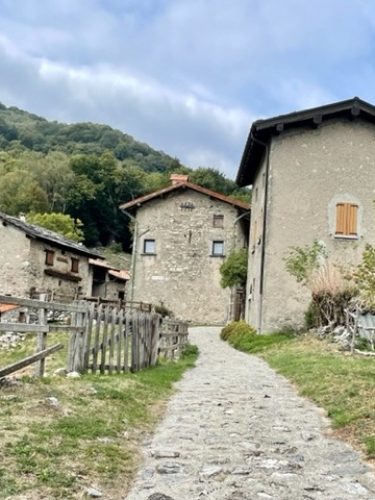
From Alpe di Monte to Valbrona the single track gives way to a mule track with a cemented surface. The descent is quite steep, but the road is easy and offers excellent grip.
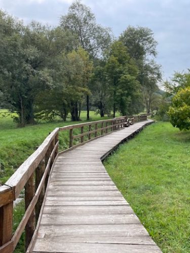
Once you reach Visino, a hamlet of Valbrona, after crossing the historic center, the trail leads to the provincial road near the famous cyclist’s fountain, at the end of the classic Onno-Valbrona climb. Continuing on the provincial road, you enter the town towards the hamlet of Osigo to take a nice flat path with a characteristic wooden walkway, until you reach the small sports fishing lake with its playground.
After leaving the lake, cross the provincial road again to enter the hamlet of Visino and through fields with a mule track the trail leads towards Asso.
The itinerary passes right through the centre of Asso, then continues along the old road to Bellagio and meets the provincial road again, which must be followed for about a hundred metres before turning towards Pagnano.
After crossing the historic center of Pagnano, a mule track climbs up to the village of Fraino and continues uphill to Alpe di Megna. From here, an easy forest road downhill takes you to the town of Lasnigo, which you cross through the narrow streets of the historic center.
Beyond Lasnigo you reach the provincial road to Bellagio, which must be followed for 1.8 km, until the countryside of Barni where the route becomes quieter again and away from traffic.
The town of Barni is also crossed through the beautiful streets of the center. Outside the town, the road continues towards Magreglio, towards the end of the tour.
At the second bend you leave the asphalt road again for the last uphill stretch that leads to Magreglio, and then to the Ghisallo square.

Technical Data
CREZZO BASIN AND UPPER VALASSINA

Trail Status:
Good
Difficulty:
MEDIUM: Suitable for an
average user. It presents small
technical difficulties and requires
basic training.
Recommended bike:
ebike/mtb
Degree of historical/landscape interest:
8 su 10
Route lenght:
22,00 Km
620 mt
620 mt

Activities and services
CREZZO BASIN AND UPPER VALASSINA
Existing Signage:
POOR: There are signs with pedestrian directions.
Charging point:
Absent.
Workshops and shops:
There is an e-bike assistance and rental shop in Magreglio.
Intermodal connections:
Circular itinerary starting and finishing in Magreglio with the possibility of joining from any point along the route. Connections to the area are possible by bus and by train to the Canzo/Asso station
Along the Route:
There are numerous refuges and farmhouses.
Gallery
CREZZO BASIN AND UPPER VALASSINA
Reports
CREZZO BASIN AND UPPER VALASSINA
Report a Point Of Interest along the Route
With this feature LarioGT wants to be a point of reference for the biker community of Lake Como. If you think that along the route it is useful to report a Point of Interest (a fountain, a viewpoint, a commercial activity useful to us bikers, but also a dangerous point) use the following Form to send us the details, if you know the coordinates in decimal degrees (latitude and longitude) or more simply the exact address and you have photos or documents useful for your report, attach them and write a comment about your report, we will moderate the report and insert it into the map!


