ZONE 5 – ROUTE 9

The Route
LECCO, PIAN DEI RESINELLI, ABBADIA
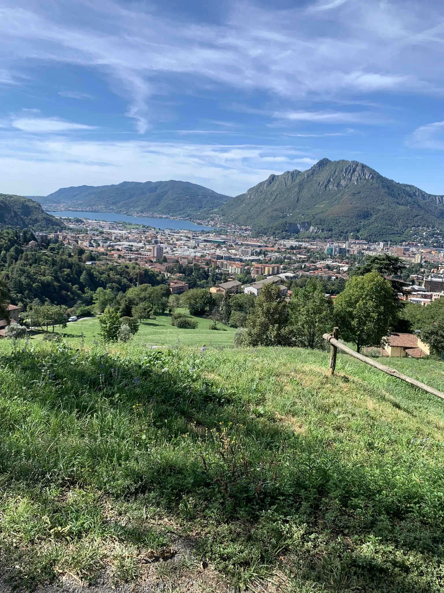
MTB trail accessible with good physical preparation, starting from the Lecco pier and arriving at the Abbadia Lariana train station. Following the trail, you leave the center of Lecco in the direction of Valsassina; turning off for the Montalbano area, you take the first stretch of dirt road, from which you begin to see Lecco from above.
Near the first village of Valsassina, Ballabio, you get back on the asphalt before the last detour towards Pian dei Resinelli, the main destination of this route. This stretch of road, all on asphalt for about 8 km, winds through 14 hairpin bends mostly in the shade, from which you can glimpse part of Lecco and part of the southern Grigna, called Grignetta.
We arrive at Pian dei Resinelli. The location, part of the municipalities of Ballabio, Lecco, Abbadia and Mandello, is a popular destination for vacationers, full of agritourisms, restaurants, shelters and paths that climb up Grignetta, a natural gym for many sports climbing enthusiasts. Very interesting to visit the historic mines of Resinelli.


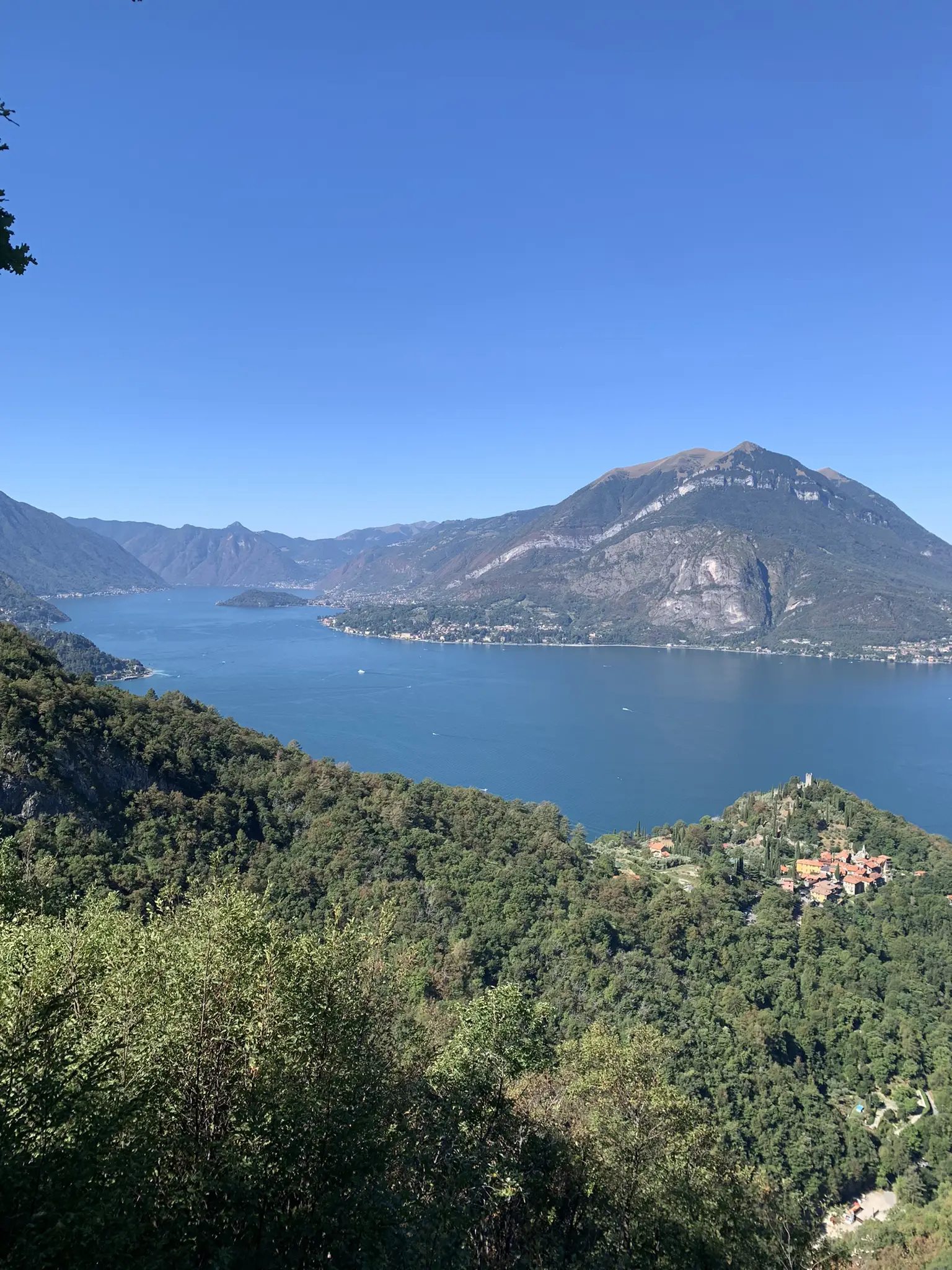
Heading towards Parco Valentino, following the trail, you arrive at the beautiful panoramic walkway belvedere.
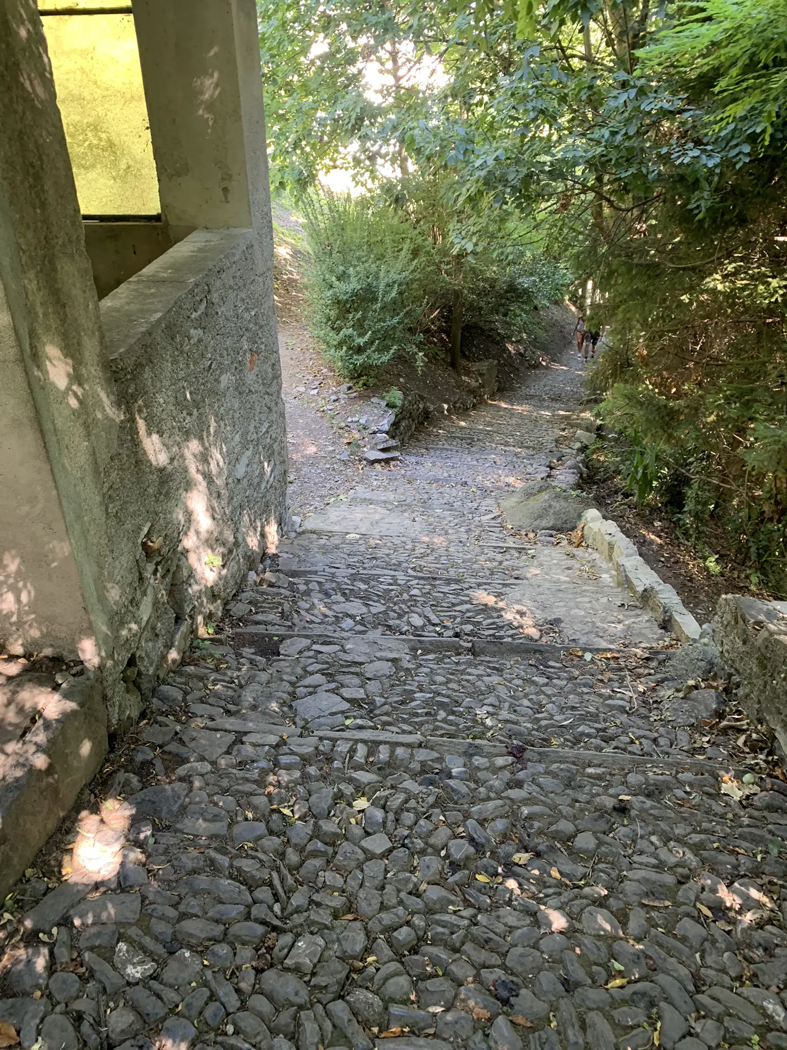
Afterwards, return along the same road until you exit the park, start following the trail again and begin the descent along the steep mule track.
You pass through the locality of Campelli, a cluster of private toll booths used for holidays. Pay attention along this entire downhill stretch because it is very steep.
With a small detour near the end of the descent and following the signs “Cascata del Cenghen” you arrive at this small characteristic waterfall at the foot of Grigna. Pay attention to this passage: the path is quite uneven, it is advisable to accompany the bike by hand.
You cannot reach the waterfalls directly by following the trail, you have to leave your bike and continue on foot for five minutes. Finally, you continue towards the Abbadia station, crossing the country roads adjacent to the town; once you arrive, you can choose whether to return by public transport or continue by bike along the SP72 towards Lecco.
We continue towards Sommafiume, another town inhabited by holidaymakers in the summer.
Heading towards the locality of Vezzée, you descend along a fairly wide and fun agro-forestry pastoral road; it is advisable to pay attention only to a passage near the river, where it is advisable to accompany the bike by hand.
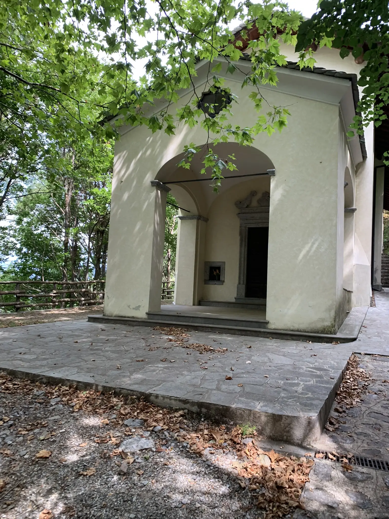
Another suggestive passage is from the Sanctuary of the Madonna di Bondo, along the last descent, also passing by the water collection basin for the power plant located on the lake shore.
Finally, we proceed on asphalt; if you want and without any particular problems, you can make easily identifiable cuts to reach Dervio.

Technical Data
LECCO, PIAN DEI RESINELLI, ABBADIA

Path status:
Good / Excellent
Difficulty:
MEDIUM: Suitable for an
average user. It presents small
technical difficulties and requires
basic training.
Recommended bike:
ebike/mtb
Degree of historical/landscape interest:
9 su 10
Route lenght:
30,8 Km
1180 mt
1180 mt

Activities and services
LECCO, PIAN DEI RESINELLI, ABBADIA
Existing Signage:
POOR: There are signs with pedestrian directions.
Charging point:
No charging points present.
Workshops and shops:
There is a Lecco assistance shop.
Intermodal connections:
Route from A to B starting from Lecco and arriving in Abbadia Lariana, it is possible to return to Lecco by bike or by train, bus or boat.
Along the Route:
There are numerous restaurants, refuges and farmhouses.
Gallery
LECCO, PIAN DEI RESINELLI, ABBADIA
Reports
LECCO, PIAN DEI RESINELLI, ABBADIA
Report a Point Of Interest along the Route
With this feature LarioGT wants to be a point of reference for the biker community of Lake Como. If you think that along the route it is useful to report a Point of Interest (a fountain, a viewpoint, a commercial activity useful to us bikers, but also a dangerous point) use the following Form to send us the details, if you know the coordinates in decimal degrees (latitude and longitude) or more simply the exact address and you have photos or documents useful for your report, attach them and write a comment about your report, we will moderate the report and insert it into the map!


